
Map Links
The Map Club was formed in January 2025 with the mission to catalogue, digitize and make the SRVHS map collection accessible. While our volunteer members continue to work toward our goals, please enjoy these free online resources and check back for updates.

The Friends of Quabbin map page
The Friends of Quabbin Map page includes links to Historical Topo Map Explorer, which allows the user to overlay maps of different years over the existing terrain.
You can also access the DCR Story Maps Gallery: Story maps tell stories through the use of maps. DCR has created a gallery of over 2 dozen story maps.

Preserving Forest Land Through the Forest Legacy Program
DCR-DWSP Story Maps, highlighting the unique resources and natural beauty of properties protected by the Quabbin to Wachusett Mountain Forest Legacy Project.
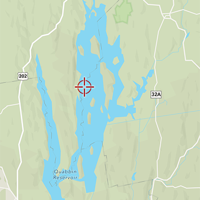
Historical Topo Map Explorer
This site allows the user to overlay maps of different years over the existing terrain. You can then vary the opacity of the overlaid map to see what it looked like then and now.
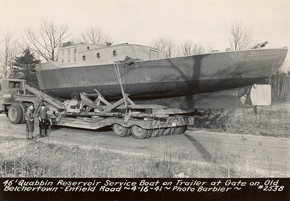
Massachusetts Digital Commonwealth Photograph Archive
This site contains the photographs taken during the surveying of the Quabbin in the 1930's. It is a searchable archive.